Enhancing the Visibility of Labels in 3D Navigation Maps
Mika Vaaraniemi, Martin Freidank, Rüdiger Westermann
BMW Research and Technology GmbH, Munich, Germany
Computer Graphics and Visualization Group, Technische Universität München, Germany
Background
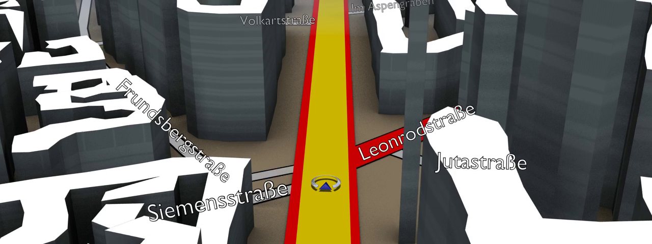
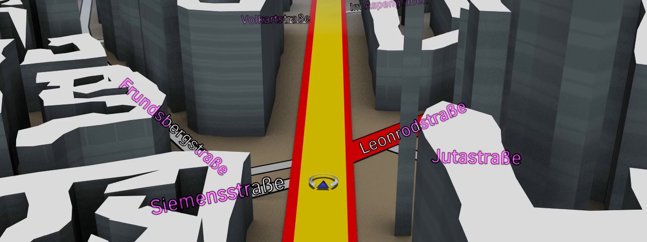
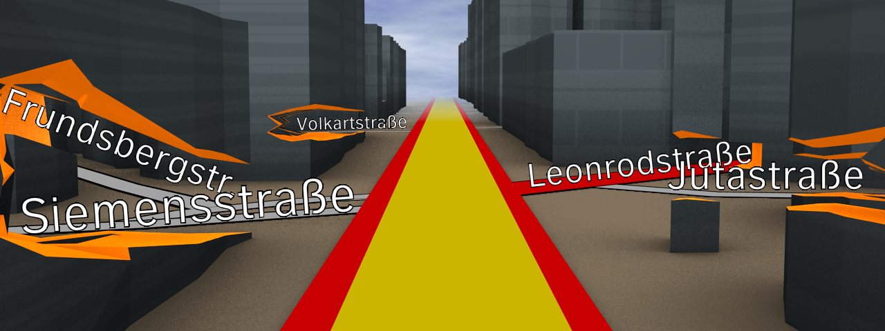
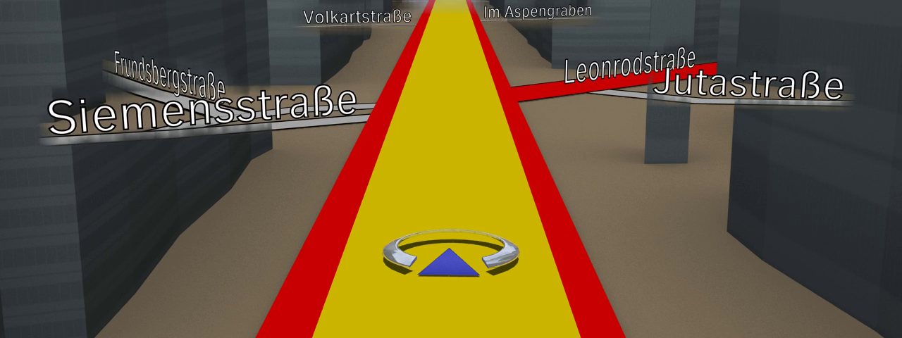
The visibility of relevant labels in automotive navigation systems is critical for orientation in unknown environments However, labels can quickly become occluded, e.g. road names might be hidden by 3D-buildings, and consequently, the visual association between a label and its referencing feature is lost. In this paper we introduce five concepts which guarantee the visibility of occluded labels in 3D navigation maps. Based on the findings of a pre-study, we have determined and implemented the two most promising approaches. The first approach uses a transparent aura to let the label shine through occluding objects. The second method lets the feature, e.g. the roads, glow through the 3D environment, thus re-establishing the visual association. Both methods leave the 3D world intact, preserve visual association, retain the label’s readability, and run at interactive rates. A concluding user study validates our approaches for automotive navigation. Compared to our baseline – simply drawing labels over occluding objects – both approaches perform significantly better.
Associated publications
Enhancing the Visibility of Labels in 3D Navigation Maps
M. Vaaraniemi, M. Freidank, R. Westermann, (To appear in) Lecture Notes in Geoinformation and Cartography (LNG&C) series by Springer (Proc. 3D GeoInfo 2012) [PDF] [Bibtex]